When Does a Hill Become a Mountain?
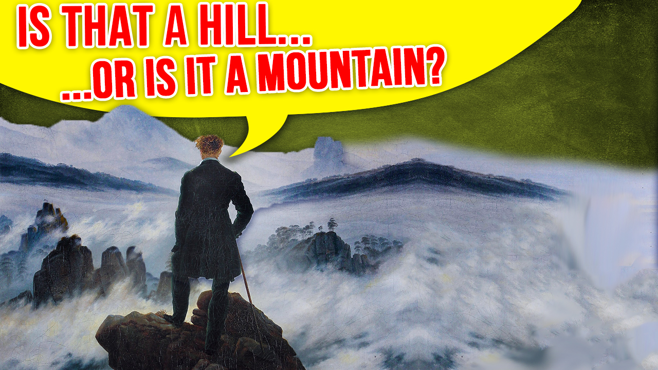 Ever wonder when a hill becomes a mountain? Well, it turns out that language, like the universe, likes to resist simplicity… So the answer is- it’s complicated. But that’s not very interesting, so let’s dive into it shall we?
To begin with, turning to our trusty Merriam-Webster Dictionary we have the following definition of a mountain: “a landmass that projects conspicuously above its surroundings and is higher than a hill”
Helpful…
Maybe the Oxford English Dictionary can do better? According to this bastion of English awesome, mountains are “a natural elevation of the earth surface rising more or less abruptly from the surrounding level and attaining an altitude which, relative to the adjacent elevation, is impressive or notable”
As you can see, the dictionaries of the world are slightly less than helpful at nailing down precise specifications of what constitutes a mountain vs a hill. And, it turns out, science and various countries and institutions are equally unhelpful, coming up with a variety of ways to define this in a specific case, though there are some general things to consider when trying to classify a given bump in the ground.
Now, as will come as a shock to absolutely no one, in all such cases, one of the main parameters for distinguishing hills and mountains is size. Tall enough, it’s a mountain and falling short it’s a hill. This would make the problem simple enough if that’s really the only defining attribute accounted for: Find a threshold above which you are atop a mountain and below which you are on a hill.
This is exactly what many countries, including merry old England used to do until the 1920s. Perhaps the most well-known discourse about the subject is the 1990s movie “The Englishman who Went up a Hill but Came Down a Mountain” where some Welsh villagers are appalled with Hugh Grant’s notion that their village’s mountain is – in the eyes of the Central English Bureaucratic Geographic Association – only a hill, but barely.
Moving on from size, another common idea is that a hill is a smooth rounded mound of earth, a bump in the natural landscapes, often remaining unnamed. A mountain, on the other hand, must have a steep inclination. It thus dominates the landscape, messes with the path of clouds and, of course, has a name.
But this description only pertains to the extreme examples of ragged and spikey terrain. These, however, are merely a characteristic of geologically younger mountains, such as the Andes, the Alps or the Rocky Mountains. Geological grand-dad mountains can have a more smooth surface, such as the Pocono mountains in Pennsylvania.
Thus, to clarify things a bit, in 1936, Roderick Peattie, publisher of “Mountain Geography”, gave mountains three defining characteristics: They should be impressive, they “should enter into the imagination of the people that live in their shadows”, and they should have “individual character” and play a symbolic role in the local area.
If that still sounds vague to you… well, it is. But surely, there must be some harder rules? The answer is… no, not precisely.
As alluded to, until the 1920s, the British Ordnance Survey defined a mountain as a geographic feature rising higher than 1,000 feet (304 meters) from surrounding ground level. This arbitrary line is behind the plot of that Hugh Grant movie, as the villagers had to build up the additional distance needed to reach the threshold. America followed the same trend until the 1970s.
Nowadays, however, as Mr. Peattie suggested, local tradition plays a major role: Generally, a mountain should have a minimum height of 610 metres (2000 feet), but if the locals have always considered their hill a mountain, well, let’s not anger them just for the sake of size. It is, after all, not always about size, but presence and reputation. This is particularly the case if the subject observed is a single elevation in otherwise flat areas, so relativity should also be considered. Similarly, you may be a male the size of a stereotypical jacked up truck owner, but if there are no other men anywhere in a geographical area, we’re sure the ladies will still sing your praises anyway.
Today, the leaders in geography, like the United States Geological Survey (USGS), also do not have an exact definition of “mountain” and “hill”. Instead, the organization’s Geographic Names Information System (GNIS) tries to follow some of the aforementioned few generally accepted characteristics, again, things like climbability, is it characteristic in the landscape, what do the locals consider it, and so on and so forth.
Moving on from hills and mountains, perhaps we can better have clarity with regards to seas and lakes?
To begin with, simply put, if it has a significant amount of salt it is a sea and if it is surrounded by land then it is a lake. Of course, sometimes bodies of water fit both bills, such as the Dead Sea and the Caspian Sea, in which case people just call it as they see it, although sometimes this can have major political ramifications.
For example with the Caspian Sea, its classification is, in fact, a very political issue, as international waters have different legislative status depending if it is a sea or a lake. Adding pressure to the situation is the fact that the Caspian Sea is an area rich in oil and the countries sharing the borders – among others Russia and Iran – are not exactly known as meek in their political stances. So the status of the Caspian… waters has been an ongoing issue for decades. Before the fall of the Soviet Union. The problems were solved with bilateral treaties, as it bordered only the USSR and Iran. But after 1990, the Caspian liquid mass was surrounded by five countries: Azerbaijan, Kazakhstan, Turkmenistan, Russia and Iran.
So the definition of lake or sea made a big difference: A lake would be divided equally among bordering countries. Therefore Azerbaijan, which does not have a very long coastline, would prefer this solution. For seas, on the other hand, according to the UN’s Law of the Sea, the surface and bed are allotted, nearer to shore, according to the length of relevant coastline. So Kazakhstan, which has a long front of the Caspian waters, prefered the solution of calling it “sea”.
In 2018, a convention on the legal status of the Caspian Sea was held. Each neighboring country was granted jurisdiction over 24 km (15 mi) of territorial waters, plus an additional 16 km (10 mi) of exclusive fishing rights on the surface. This doesn’t add up to the full extent of the Caspian Sea, so the rest is considered international waters. The seabed, however, was not defined within the convention and remains subject to bilateral agreements between countries. Ultimately, the Caspian Sea therefore still isn’t a sea or a lake completely, but something in between.
And that’s still not where the controversy ends. When does meandering water become a river vs. a stream? Continents: What’s up with those guys? Are there five? Are there seven? Once more, it depends on the definition and it isn’t unilateral at all.
And when do landmasses stop being islands? Is Australia an island? One definition is that an island is a land mass surrounded by water and smaller than a continent. But for this we go back to the disputed definition of a continent. Oceania, for example, is defined either by its tectonic plate or by the landmasses that reach out of the water.
And so it is that, in our description of the environment, many of the words we use contain all these vague language notions that fail under the scrutiny of precise definition. Feel free to use this information to spark up a heated debate over whether the landmass you’re currently gazing upon constitutes a humble hill, or a mighty mountain!
If you liked this article, you might also enjoy our new popular podcast, The BrainFood Show (iTunes, Spotify, Google Play Music, Feed), as well as:
- How the Himalayas Were Formed
- The Barkley Marathons, a 60 Hour Race so Intense Only 14 of Over 1,000 Ultramarathoners Have Ever Completed It
- Is There Really an Area of Yellowstone Where You Can Get Away With Murder?
- Can Anyone Try to Climb Everest?
Bonus Fact:
The highest “mountain” of the Dutch nation is a mere 322 m, and it is located at their southern border, down at the Ardenne… There is a reason we call them the Netherlands.
But never you fear, there is a proposal for a change. A plan in the works that might elevate the Netherlands. In 2011, Thijs Zonneveld proposed the idea for a mountain. Because, sure, why not? To clarify, this would not be like the Dubai buildings, which are in essence tall sticks held up by clever static engineering. The plan was to build an actual mountain, 2 km tall and 5 km wide to dominate all of the Netherlands… Why? Well, you know… for tourism …and so that Dutch athletes have somewhere to train for the Winter Olympics without leaving the country… Tickets to the Alps are expensive apparently?
Unfortunately, with an estimated cost of more than five trillion dollars, it would probably literally be cheaper to build moon colonies than this training facility for Dutch athletes! But you know what they say: National pride is beyond cost…
A counter proposal for the costs is to fill the side of the mountains not needed for ski pistes with solar panels and wind turbines etc, so that you have a “green” mountain that also generates income or at least saves money through generating electricity. Of course, given the sky high costs, let’s just say the view from the Netherlands isn’t likely to change anytime soon.
Expand for Referenceshttps://en.wikipedia.org/wiki/Hill
https://en.wikipedia.org/wiki/The_Englishman_who_Went_up_a_Hill_but_Came_down_a_Mountain
https://www.thoughtco.com/difference-between-hill-and-mountain-4071583
https://www.geographyrealm.com/mountain/
https://www.economist.com/the-economist-explains/2018/08/16/is-the-caspian-a-sea-or-a-lake


| Share the Knowledge! |
|
 |